Zambia is a landlocked country located in South-central Africa, east of the Democratic Republic of Congo (DRC) and south of Tanzania. It has a total area of 752,618 square kilometers (Km²), of which 9,220 Km² is water which is just above 12% of the total land mass.

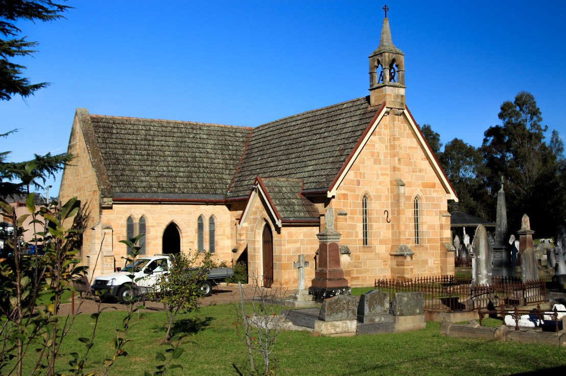
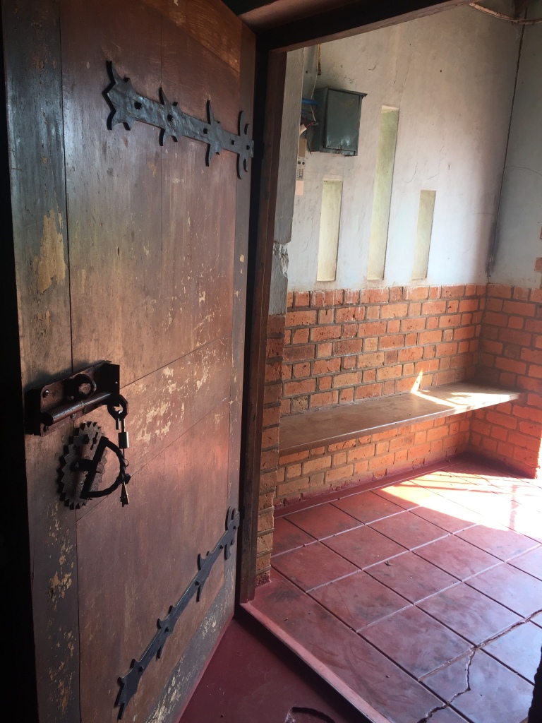
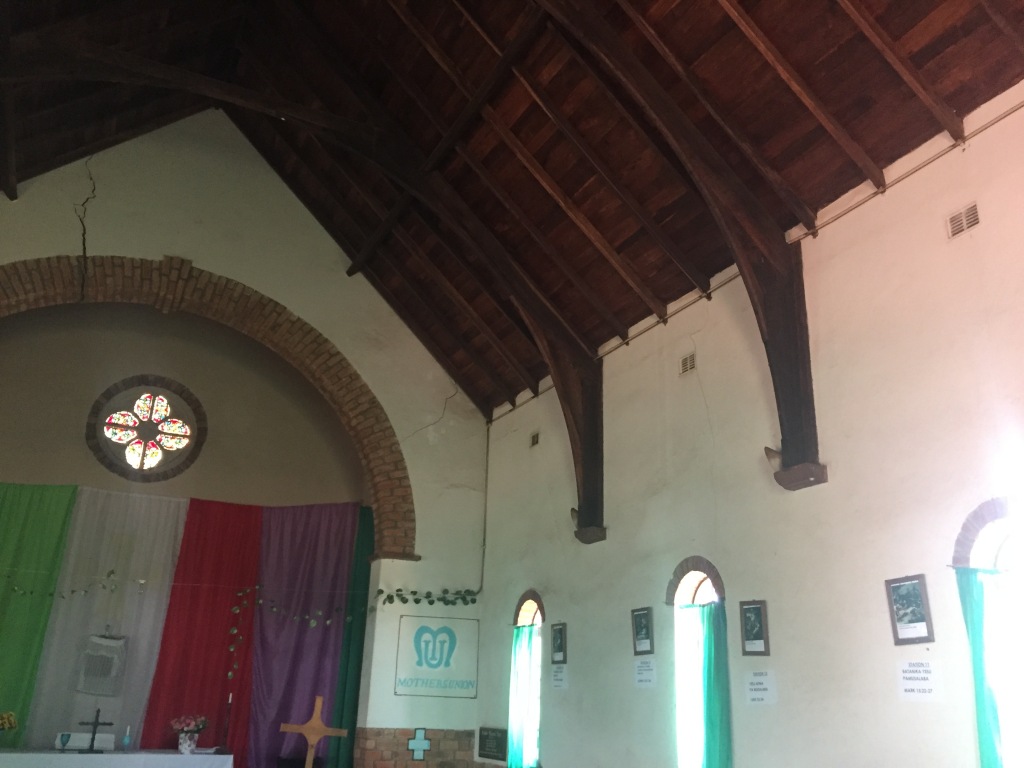
The architectural and town planning history of Zambia like many other African countries dates back to the pre-colonial era; the period before the colonization of Africa.

Urbanization described simply is the process of making an area more urban. In the case of Zambia, urbanization developed and expanded along the line of rail due to the increase in mining activity. Rail lines were constructed because Copper and other raw materials had to be transported from the point of extraction to that of shipping to British factories for processing. As a result, towns developed with this expansion. Regrettably though, this approach to Urbanization, limited development to only a small part of the country at the expense of the rest.

However, with most of the big water bodies located in the Northern part of the country, it is logical to consider this alternative mode of transport as a vehicle to resurge Urbanization. There are four big lakes in the Northern circuit and these are Lake Bangweulu, Lake Mweru-wantipa, Lake Mweru and Lake Tanganyika; Lake Mweru lies along the border with the DRC, while Lake Tanganyika lies along the border with Tanzania. These lakes for the most part are also connected by big rivers like the Kalungwishi River which links Lake Mweru and Lake Mweru-wantipa. The Lufubu River runs from Lake Tanganyika and stretches across several towns along its path, as does the Chambeshi River which runs from the Lake of the Bangweulu.
Apart from connecting towns, expanding Urbanization along these water bodies also has the potential to grow the water transportation industry and increase diversification into other industries. This kind of an undertaking in turn has a trickledown effect of reducing the strain on the mostly dilapidated road network that predominates the country.

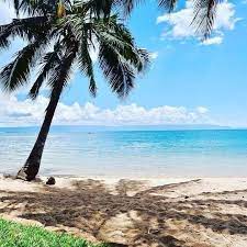
Tourism is another industry that would greatly benefit from this diversification, by moving all the focus from the South and spreading it to the North; especially since most of Zambia’s historical heritage finds roots in these parts. Sceneries like beaches and islands are stunning enough to attract high premiums and thereby lead to job creation for the locals and the country en masse. This increase in traffic thus presents an opportunity to facelift the existing Airports and Airstrips in the region.
As for the two large lakes shared with DRC and with Tanzania, independently, they have the potential to foster and nourish bilateral trade relationships with Zambia.

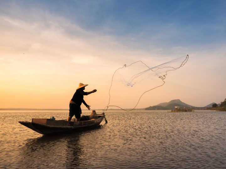
Additionally, the diversification in the use of these water bodies will provide relief to the Aquaculture industry which is currently hemorrhaging.
In conclusion, the idea is that the building of resilient infrastructure along the banks of these Northern waters will create a pulse strong enough to reverberate around a part of the country which has long been overlooked, hoping that this ripple expands it throughout the province and benefit the rest of the country.